Crown Bay (Crown Bay Marina) cruise terminal → Crown Bay Marina ferry terminal
Walk from the cruise terminal to Crown Bay Marina ferry terminal.
Opening CruiseMap…

U.S. Virgin Islands · Port
Photo by Alex Kolundzija





Showing the next 12 cruises out of 155 visiting this port.
Previous ports
These ports appear before or after this stop on the same itinerary. The numbers show how often they occur together.
Explore cabin types, dining and deck facilities for each ship.

Norwegian Cruise Line · 48 sailings
35 cabin types · 11 dining venues · 34 entertainment options · 17 decks
Explore the ship
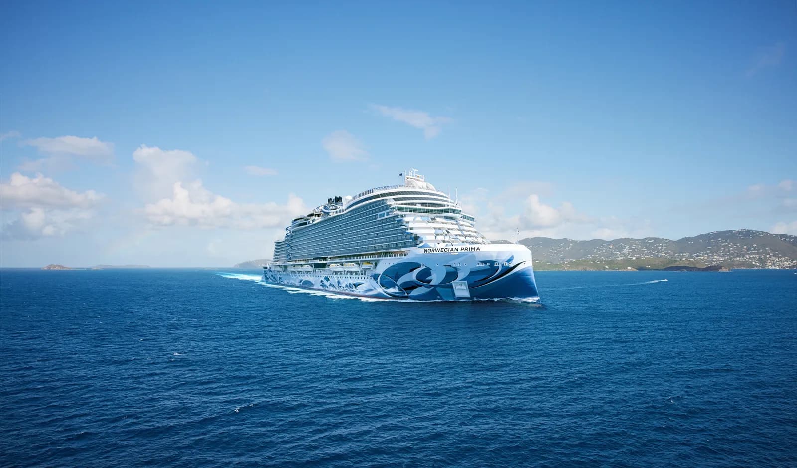
Norwegian Cruise Line · 43 sailings
34 cabin types · 15 dining venues · 50 entertainment options · 16 decks
Explore the ship
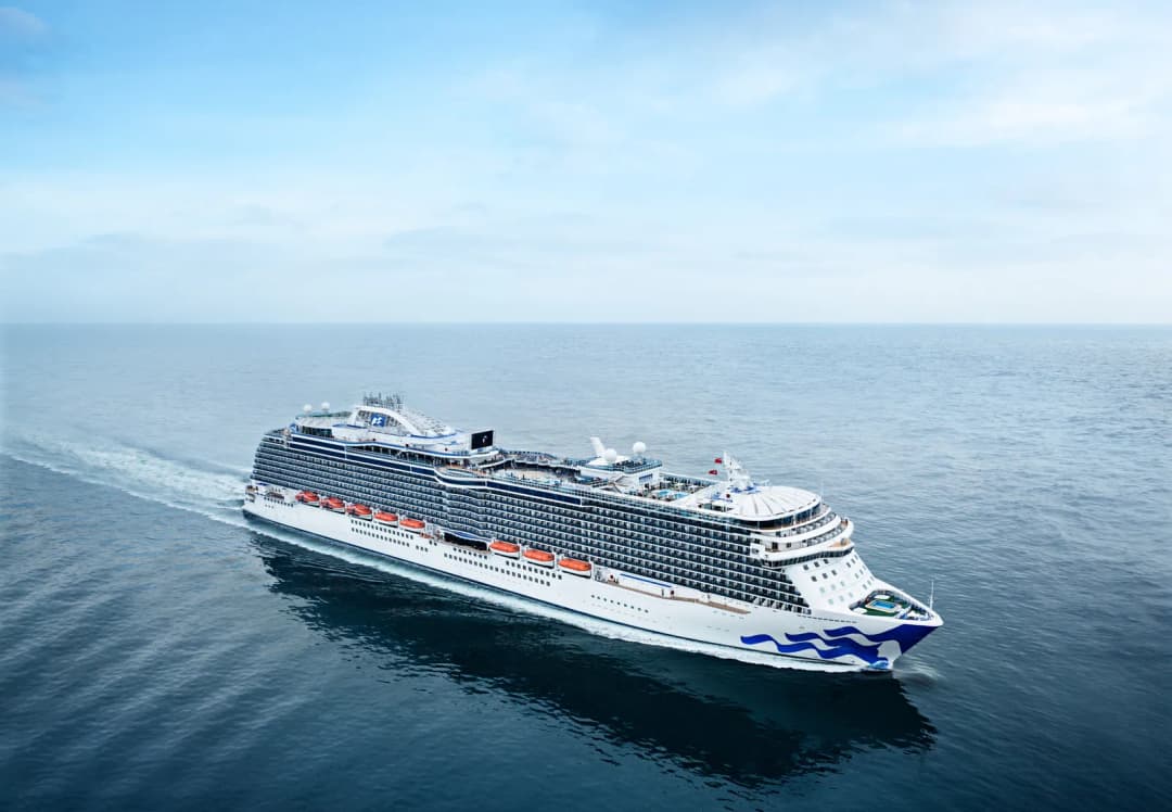
Princess Cruises · 39 sailings
6 cabin types · 18 dining venues · 24 entertainment options · 15 decks
Explore the ship
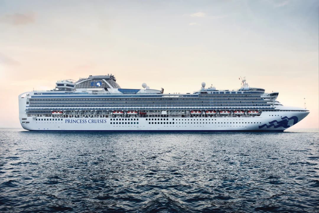
Princess Cruises · 38 sailings
7 cabin types · 14 dining venues · 26 entertainment options · 15 decks
Explore the ship
Cruise port in U.S. Virgin Islands
Allow about 10 min each way from the terminal to the city center. Average time in port: 8 hours. 26 places to explore.
Photo by Alex Kolundzija
Cruise ships dock at Havensight Cruise Pier. Allow about 10 min each way from the terminal to the city center.
Cruise ships dock at Havensight Cruise Pier.
The airport in St. Thomas is Cyril E. King International Airport, airport code STT.
Depending on the cruise line and season, ships berth at Havensight Pier or Crown Bay.
Time available at the destination after subtracting return travel.
Calculated from the average time in port. Return deadlines vary by sailing; check the daily programme on board.
Travel between the terminal, city center, railway station and airport.
Crown Bay (Crown Bay Marina) cruise terminal → Crown Bay Marina ferry terminal
Walk from the cruise terminal to Crown Bay Marina ferry terminal.
Cyril E. King International Airport (STT) → Charlotte Amalie city center
Take a public bus from the airport to town. The source lists the first bus from the airport at 6 a.m., the last at 8 p.m., and a fare of $1.
Crown Bay (Crown Bay Marina) → Magens Bay
Take a shared or private taxi waiting outside the port and ask for Magens Bay. The stated travel time is 15–20 minutes and the one-way fare is about $10–15 per person.
Havensight (West Indian Company Dock) → Magens Bay
Take a shared or private taxi waiting outside the port and ask for Magens Bay. The stated travel time is 15–20 minutes and the one-way fare is about $10–15 per person.
Magens Bay → Havensight (West Indian Company Dock)
Return to the beach parking lot and join the taxi queue as directed by staff. A January 2025 visitor report gives a return fare of $12 per person; taxis drop off at the port gate.
Explore 18 checked places. Select a pin to see its card, or choose View on map from a card.
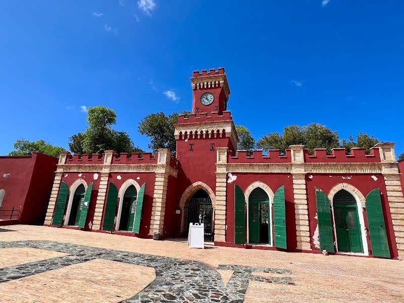
A fort established by the Danes in the 17th century, now a museum about the island's colonial history.
Some rooms at Fort Christian, including the commander’s quarters, chapel, and courtroom, cannot be entered and can only be viewed from outside, so plan accordingly.

A 17th-century watchtower described for harbor views and pirate stories.
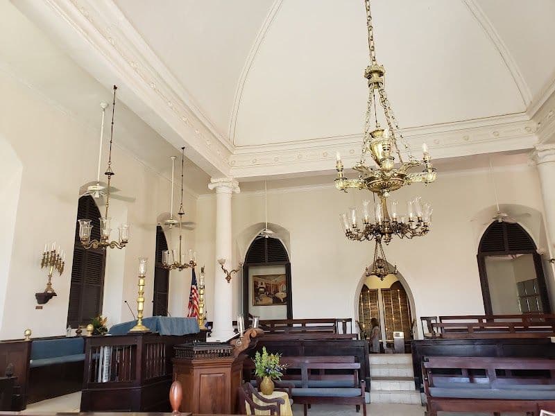
A synagogue built in 1833, notable for its sand-covered floor.
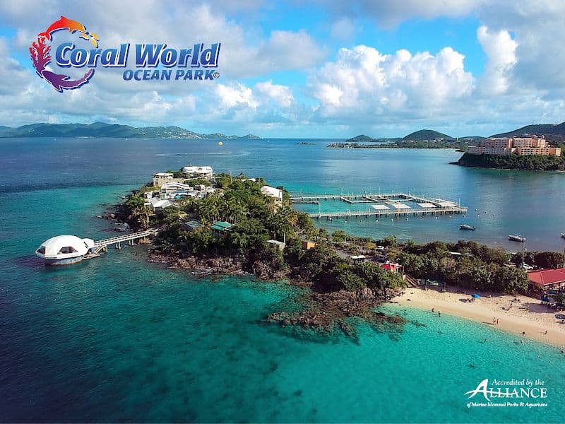
A marine park where visitors can explore an aquarium, outdoor tanks, and nature trails and see marine animals up close.
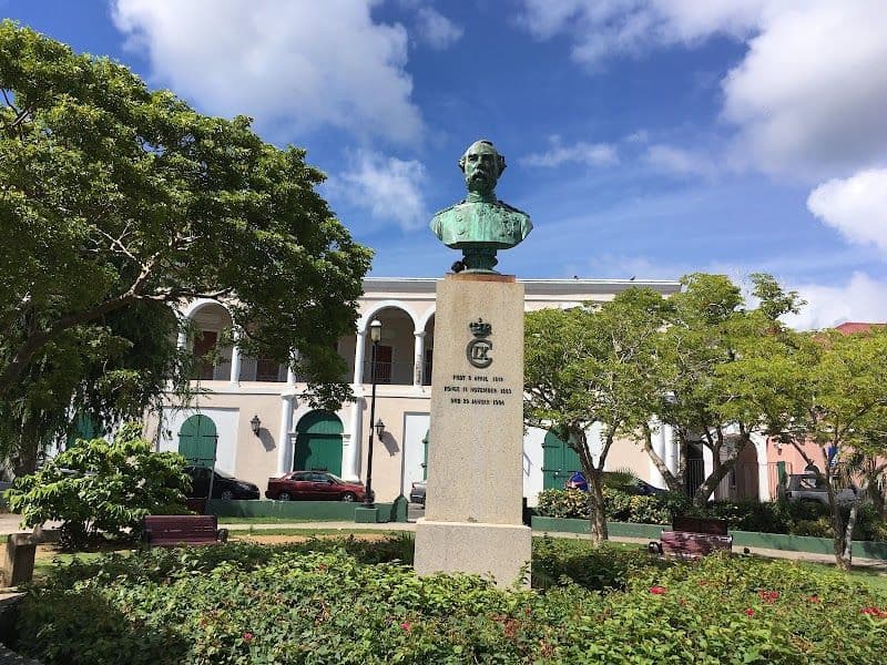
A downtown park commemorating emancipation in 1848.
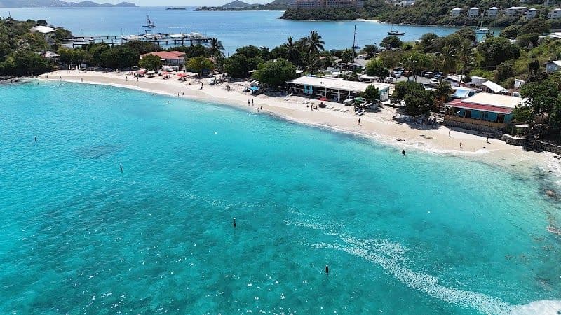
A snorkeling spot at the reef edge on the eastern side of the bay, with abundant tropical fish and calm water for swimming.
With enough time in port, you can explore beyond the city. One-way times are approximate.

A beach with white sand and clear water for swimming, kayaking, and paddleboarding.
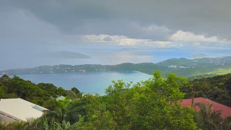
A viewpoint above Magens Bay where visitors can look out over several islands and get banana daiquiris and souvenirs.
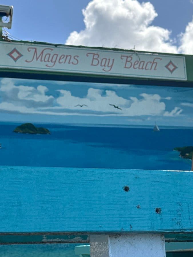
Serving beach cocktails such as Painkiller and Bushwacker, along with pizza.
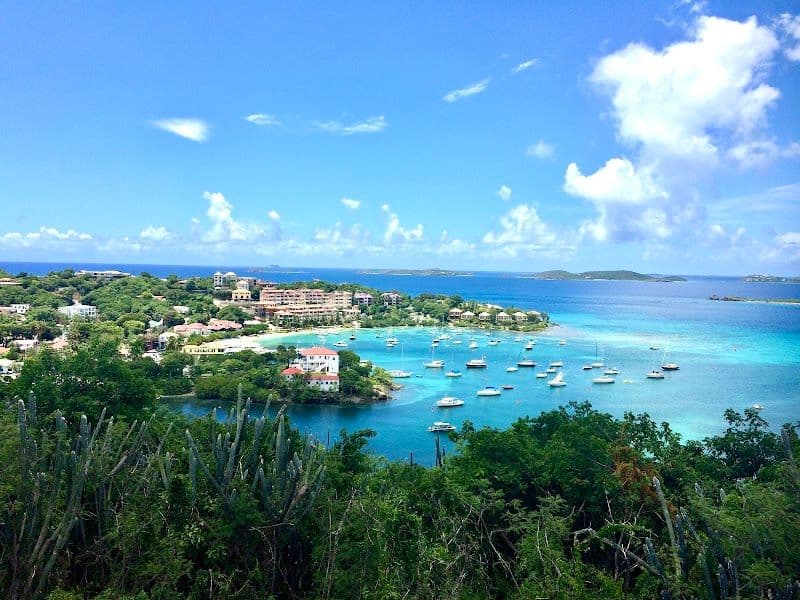
A village where the St. John ferry arrives. After coffee at North Shore Deli, visitors can take an open-air taxi to the north-coast beaches.

A white-sand beach on St. John's north shore. The source says there are few facilities apart from restrooms, and it is not crowded.

St. John's most popular beach, with a wide stretch of white sand and an underwater snorkeling trail through coral reefs.
The snorkeling trail at Trunk Bay may be crowded when cruise tour groups arrive, so consider snorkeling in another area if it is busy.
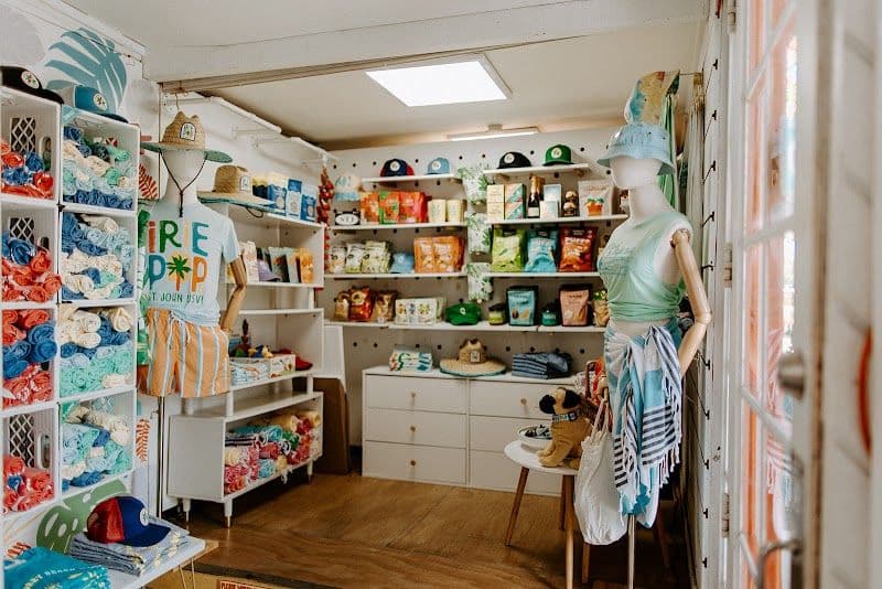
A Cruz Bay shop selling handmade tropical fruit ice pops, vegan soft serve, and cold brew.

Choose 3 kinds of rum to sample at a shop in Mongoose Junction in Cruz Bay.
550 sailings are grouped into 155 cruises by ship and route.
Norwegian Cruise LineDisney Cruise LineCaribbean cruises · 7 nights
Holland America LineCaribbean cruises · 21 nights · Long cruise
Holland America LineCaribbean cruises · 14 nights · Long cruise
Norwegian Cruise LineNorwegian Cruise LineHolland America LineCaribbean cruises · 7 nights
Holland America LineCaribbean cruises · 14 nights · Long cruise
Norwegian Cruise LineCaribbean cruises · 10 nights · Mid-length cruise
Holland America LineCaribbean cruises · 14 nights · Long cruise
Norwegian Cruise LineCaribbean cruises · 12 nights · Long cruise
Emerald CruisesCaribbean cruises · 13 nights · Long cruise
155 cruises call at this port.
Explore cabin types, dining and deck facilities for each ship.
Norwegian Cruise Line · 48 sailings
35 cabin types · 11 dining venues · 34 entertainment options · 17 decks
Explore the ship
Norwegian Cruise Line · 43 sailings
34 cabin types · 15 dining venues · 50 entertainment options · 16 decks
Explore the ship
Princess Cruises · 39 sailings
6 cabin types · 18 dining venues · 24 entertainment options · 15 decks
Explore the ship
Princess Cruises · 38 sailings
7 cabin types · 14 dining venues · 26 entertainment options · 15 decks
Explore the ship
If you fly to the 32-square-mile (83-square-km) island of St. Thomas, you land at its western end; if you arrive by cruise ship, you come into one of the world's most beautiful harbors. Either way, one of your first sights is the town of Charlotte Amalie. From the harbor you see an idyllic-looking village that spreads into the lower hills. If you were expecting a quiet hamlet with its inhabitants hanging out under palm trees, you've missed that era by about 300 years. Although other islands in the USVI developed plantation economies, St. Thomas cultivated its harbor, and it became a thriving seaport soon after it was settled by the Danish in the 1600s. The success of the naturally perfect harbor was enhanced by the fact that the Danes—who ruled St. Thomas with only a couple of short interruptions from 1666 to 1917—avoided involvement in some 100 years' worth of European wars. Denmark was the only European country with colonies in the Caribbean to stay neutral during the War of the Spanish Succession in the early 1700s. Thus, products of the Dutch, English, and French islands—sugar, cotton, and indigo—were traded through Charlotte Amalie, along with the regular shipments of slaves. When the Spanish wars ended, trade fell off, but by the end of the 1700s Europe was at war again, Denmark again remained neutral, and St. Thomas continued to prosper. Even into the 1800s, while the economies of St. Croix and St. John foundered with the market for sugarcane, St. Thomas's economy remained vigorous. This prosperity led to the development of shipyards, a well-organized banking system, and a large merchant class. In 1845 Charlotte Amalie had 101 large importing houses owned by the English, French, Germans, Haitians, Spaniards, Americans, Sephardim, and Danes. Charlotte Amalie is still one of the world's most active cruise-ship ports. On almost any day at least one and sometimes as many as eight cruise ships are tied to the docks or anchored outside the harbor. Gently rocking in the shadows of these giant floating hotels are just about every other kind of vessel imaginable: sleek sailing catamarans that will take you on a sunset cruise complete with rum punch and a Jimmy Buffett soundtrack, private megayachts for billionaires, and barnacle-bottom sloops—with laundry draped over the lifelines—that are home to world-cruising gypsies. Huge container ships pull up in Sub Base, west of the harbor, bringing in everything from breakfast cereals to tires. Anchored right along the waterfront are down-island barges that ply the waters between the Greater Antilles and the Leeward Islands, transporting goods such as refrigerators, VCRs, and disposable diapers. The waterfront road through Charlotte Amalie was once part of the harbor. Before it was filled in to build the highway, the beach came right up to the back door of the warehouses that now line the thoroughfare. Two hundred years ago those warehouses were filled with indigo, tobacco, and cotton. Today the stone buildings house silk, crystal, and diamonds. Exotic fragrances are still traded, but by island beauty queens in air-conditioned perfume palaces instead of through open market stalls. The pirates of old used St. Thomas as a base from which to raid merchant ships of every nation, though they were particularly fond of the gold- and silver-laden treasure ships heading to Spain. Pirates are still around, but today's versions use St. Thomas as a drop-off for their contraband: illegal immigrants and drugs. To explore outside Charlotte Amalie, rent a car or hire a taxi. Your rental car should come with a good map; if not, pick up the pocket-size "St. Thomas–St. John Road Map" at a tourist information center. Roads are marked with route numbers, but they're confusing and seem to switch numbers suddenly. Roads are also identified by signs bearing the St. Thomas–St. John Hotel and Tourism Association's mascot, Tommy the Starfish. More than 100 of these color-coded signs line the island's main routes. Orange signs trace the route from the airport to Red Hook, green signs identify the road from town to Magens Bay, Tommy's face on a yellow background points from Mafolie to Crown Bay through the north side, red signs lead from Smith Bay to Four Corners via Skyline Drive, and blue signs mark the route from the cruise-ship dock at Havensight to Red Hook. These color-coded routes are not marked on most visitor maps, however. Allow yourself a day to explore, especially if you want to stop to take pictures or to enjoy a light bite or refreshing swim. Most gas stations are on the island's more populated eastern end, so fill up before heading to the north side. And remember to drive on the left!
Cruise lines calling here: 5 places
Ports frequently visited before this one
Ports frequently visited after this one
Tell us your travel dates, party size and budget to find suitable cruises calling here.
Some booking links are affiliate links. TravelersMap may earn a commission when you book, at no extra cost to you.